Using Web Services to Prevent and Keep Track of Natural Disasters Like Earthquake, Tsunami, Hurricane, and Storm
Natural disasters such as earthquake, tsunami, tornado, and storm are almost impossible to be managed by human. However, the impact of disasters can be reduced by adopting suitable disaster mitigation strategies such as develop disaster early warning capabilities and implement developmental plans to provide resilience to such disasters. On the web, we can also use some online tracking services to keep ourselves updated with the latest natural disasters information and warnings.
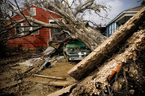
(Image Source: armageddononline.org)
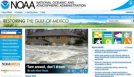
National Oceanic and Atmospheric Administration
The National Oceanic and Atmospheric Administration (NOAA) is a federal agency focused on the condition of the oceans and the atmosphere.
USGS (U.S. Geological Survey)
U.S. Geological Survey is a federal source for science about the Earth, its natural and living resources, natural hazards, and the environment.

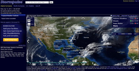
Stormpulse
Stormpulse’s interactive map shows cloud cover and up-to-the-minute weather information from satellites, buoys, and radar, plus 150 years of hurricane.
Worldwide Earthquake
This website covers the planet using Google’s Maps as the platform. You can click on the earthquake location to see information such as magnitude, time, location, depth, and category.

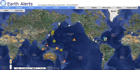
Earth Alerts
Earth Alerts is a dynamic interactive web map using GIS technologies showing natural hazards worldwide using data provided by the U.S. Geological Survey, Earthquake Hazards Program, Volcano Hazards Program, etc.
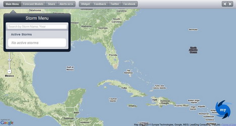
MyHurricane
MyHurricane provides latest hurricane forecast tracks and models for Atlantic hurricanes and tropical storms on an interactive map, including wind radii and distance from your current location.
Tags: web app


